首页 >标准规范

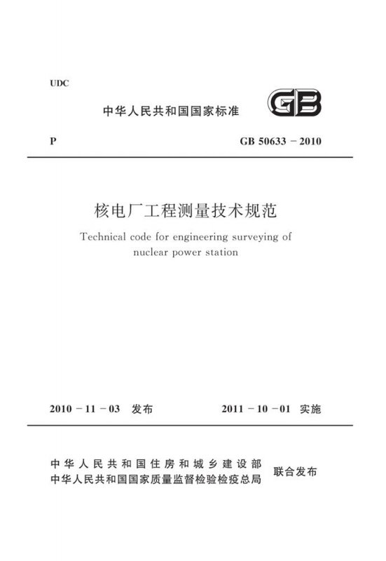
核电厂工程测量技术规范

Technical code for engineering surveying of nuclear power station

会员免费阅读,去 购买

  • 标准信息
  • 中文目录
  • 英文目录
  • 公告
收起

标准信息

  • 【主编部门】
    中国电力企业联合会
  • 【批准部门】

    中华人民共和国住房和城乡建设部

  • 【发布单位】

    中华人民共和国住房和城乡建设部,中华人民共和国国家质量监督检验检疫总局

  • 【主编单位】

    广东省电力设计研究院,电力规划设计总院

  • 【参编单位】

    华东电力设计院,中国核电工程有限公司(原核工业第二研究设计院),东北电力设计院,山东电力工程咨询院,北京国电华北电力工程有限公司,中南电力设计院,西南电力设计院

  • 【主要起草人】

    张小望,姚麒麟,殷金华,王旭宏,薛艳东,常增亮,曹玉明,王圣祖,邓加娜,柳林,代宏柏,刘小青,雷伟刚

  • 【主要审查人】

    孔祥元,田养权,尹洪斌,李广晔,刘光明,吴建杨,陈脉搏,何光源,马天勤,周美玉,陈亚明,石克勤,胡茂林,王骢,谭国铨,柴秀伟

收起

中文目录

  • 中华人民共和国住房和城乡建设部公告

  • 前言

  • 1 总则

  • 2 术语、符号和代号

    • 2.1 术语

    • 2.2 符号

    • 2.3 代号

  • 3 平面控制测量

    • 3.1 一般规定

    • 3.2 卫星定位测量

    • 3.3 导线测量

    • 3.4 三角形网测量

  • 4 高程控制测量

    • 4.1 一般规定

    • 4.2 水准测量

    • 4.3 三角高程测量

    • 4.4 GPS高程测量

  • 5 地形测量

    • 5.1 一般规定

    • 5.2 图根控制测量

    • 5.3 测绘方法

    • 5.4 地物测绘

    • 5.5 地貌测绘

    • 5.6 水下地形测量

    • 5.7 海洋测绘

    • 5.8 地形图整饰及检查

  • 6 数字摄影测量

    • 6.1 一般规定

    • 6.2 航空摄影技术及资料要求

    • 6.3 像控测量

    • 6.4 像片调绘

    • 6.5 数字化成图

    • 6.6 数字影像产品

  • 7 卫星遥感

    • 7.1 一般规定

    • 7.2 数据预处理

    • 7.3 图像几何校正

    • 7.4 影像整饰

  • 8 施工测量

    • 8.1 一般规定

    • 8.2 初级网测量

    • 8.3 次级网测量

    • 8.4 微网测量

    • 8.5 微网传递测量

    • 8.6 建筑施工放样及检测

    • 8.7 数据处理及成果提交

  • 9 变形监测

    • 9.1 一般规定

    • 9.2 水平位移测量

    • 9.3 垂直位移测量

    • 9.4 数据处理与变形分析

  • 10 其他测量

    • 10.1 一般规定

    • 10.2 勘探点、线测量

    • 10.3 水文测量

    • 10.4 管线工程测量

  • 附录A 坐标联系测量

  • 附录B 平面控制点标志及标石的埋设规格

    • B.1 平面控制点标志

    • B.2 平面控制标石埋设

  • 附录C GPS控制点点之记

  • 附录D GPS测量手簿记录格式

  • 附录E 经纬仪系列分级和基本技术参数

  • 附录F 方向观测法度盘和测微器位置变换计算公式

  • 附录G 大地坐标系的椭球基本参数和几种曲率半径的计算

  • 附录H 全国主要几种高程系统零点高程互换表

  • 附录J 水准仪系列分级和基本技术参数

  • 附录K 各等级高程控制点标志、埋石类型及要求

  • 附录L 地形图分幅和编号

  • 附录M 控制像片整饰格式

  • 附录N 次级网点、微网点和测量通视孔标志、埋设规格及要求

    • N.1 次级控制网观测墩结构示意图

    • N.2 厂房内部微网控制点构造示意图

    • N.3 微网点测量通视孔构造示意图

  • 附录P 建(构)筑物主体倾斜率和按差异沉降推算主体倾斜值的计算公式

  • 附录Q 基础相对倾斜值和基础挠度计算公式

  • 本规范用词说明

  • 引用标准名录

收起

英文目录

  • 1 General provisions

  • 2 Terms,symbols and codes

    • 2.1 Terms

    • 2.2 Symbols

    • 2.3 Codes

  • 3 Horizontal control network survey

    • 3.1 General requirement

    • 3.2 Satellite positioning

    • 3.3 Traverse survey

    • 3.4 Triangular control network survey

  • 4 Vertical control network survey

    • 4.1 General requirement

    • 4.2 Leveling

    • 4.3 Trigonometric leveling

    • 4.4 GPS leveling

  • 5 Topographic survey

    • 5.1 General requirement

    • 5.2 Mapping control survey

    • 5.3 Methods of surveying and mapping

    • 5.4 Ground-object survey

    • 5.5 Geomorphological survey

    • 5.6 Underwater topographic survey

    • 5.7 Marine charting

    • 5.8 Decoration and checking of topographic map

  • 6 Digital photogrammetry

    • 6.1 General requirement

    • 6.2 Technology and document requirements of aerial photography

    • 6.3 Photo-control point survey

    • 6.4 Photo annotation

    • 6.5 Digitized mapping

    • 6.6 Product of digital image

  • 7 Satellite remote sensing technology

    • 7.1 General requirement

    • 7.2 Data preprocessing

    • 7.3 Geometric rectification of imagery

    • 7.4 Decoration of imagery

  • 8 Construction survey

    • 8.1 General requirement

    • 8.2 Primary control network survey

    • 8.3 Secondary control network survey

    • 8.4 Micro-grid control network survey of factory building

    • 8.5 Micro-grid control network transfer survey of factory building

    • 8.6 Setting-out and detection of construction

    • 8.7 Data processing and results submitting

  • 9 Deformation monitoring

    • 9.1 General requirement

    • 9.2 Horizontal displacement survey

    • 9.3 Vertical displacement survey

    • 9.4 Data processing and deformation analysis

  • 10 Other surveys

    • 10.1 General requirement

    • 10.2 Exploratory point,line survey

    • 10.3 Hydrographic survey

    • 10.4 Pipeline engineering survey

  • Appendix A Coordinate systems affiliation surveys

  • Appendix B Markers of horizontal control points and buried specifications of the fixed monuments

  • Appendix C GPS control points logging sheet

  • Appendix D GPS surveying hand-written log forms

  • Appendix E The ranks of theodolite series and their basic technique parameters

  • Appendix F Aspect observation circle and the position interchange calculation formula for micrometer

  • Appendix G The ellipsoid basic parameters of the geodetic coordinate system and several curvature radius calculations

  • Appendix H The zero point elevation interchange table for the several mainly national elevation systems

  • Appendix J The ranks of the water level and their basic technique parameters

  • Appendix K The ranks of the different levels elevation control point signs,buried stone types and their requirements

  • Appendix L The subdivisions and serial numbers of the topographic map

  • Appendix M The decoration format of the control imagery

  • Appendix N Secondary control network points,micro-grid control network points and survey visibility aperture signs,buried specification and their requirements

  • Appendix P The inclined percent of the mainly component buildings and the calculation formulae for the extrapolated inclined value of the mainly component buildings based on the method of the differentia sedimentation

  • Appendix Q Basic relevant inclined value and basic deflection calculation formulae

  • Explanation of wording in this code

  • List of quoted standards

收起

公告

中华人民共和国住房和城乡建设部公告

4-4 0-0 0
第830号
关于发布国家标准《核电厂工程测量技术规范》的公告
现批准《核电厂工程测量技术规范》为国家标准,编号为GB 50633-2010,自2011年10月1日起实施。其中,第5.6.79.1.8条为强制性条文,必须严格执行。
本规范由我部标准定额研究所组织中国计划出版社出版发行。
中华人民共和国住房和城乡建设部
二〇一〇年十一月三日
收起

本书术语

术语 英文名称 术语 英文名称
核电厂 厂区
测区起算点 original point of surveying area 初级网
次级网 微网
天线相位中心 antenna phase center 无线电指向标/差分全球定位系统 radio beacon-dif-ferential global position system

确定