首页 >标准规范

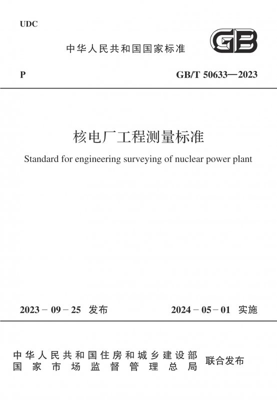
核电厂工程测量标准

Standard for engineering surveying of nuclear power plant

会员免费阅读,去 购买

  • 标准信息
  • 中文目录
  • 英文目录
  • 公告
收起

标准信息

  • 【主编部门】
    国家能源局
  • 【批准部门】

    中华人民共和国住房和城乡建设部

  • 【发布单位】

    中华人民共和国住房和城乡建设部;国家市场监督管理总局

  • 【起草单位】

    中国能源建设集团广东省电力设计研究院有限公司(广东省广州市黄埔区科学城天丰路1号,邮政编码:510663)电力规划设计总院;中国电力工程顾问集团华东电力设计院有限公司;中国核电工程有限公司;中国电力工程顾问集团东北电力设计院有限公司;山东电力工程咨询院有限公司;中国电力工程顾问集团华北电力设计院有限公司;中国电力工程顾问集团中南电力设计院有限公司;中国电力工程顾问集团西南电力设计院有限公司;中国电力工程顾问集团西北电力设计院有限公司

  • 【主要起草人】

    张小望;陈伦清;姚麒麟;代宏柏;王旭宏;薛艳东;常增亮;曹玉明;程正逢;付元盛;朱宏波;贾玉明;胡博;李建国;黄玉林;陈隽敏;杨立建;张健

  • 【主要审查人】

    尹洪斌;陈亚明;郑勇峰;胡双跃;王志勇;吴建扬;郝宝诚;石克勤;胡茂林;柴中;徐君明;柴秀伟;毛克;单龙学

收起

中文目录

  • 中华人民共和国住房和城乡建设部公告

  • 前  言

  • 1 总  则

  • 2 术语和缩略语

    • 2.1 术  语

    • 2.2 缩略语

  • 3 基本规定

  • 4 平面控制测量

    • 4.1 一般规定

    • 4.2 控制网的设计与选点埋石

    • 4.3 GNSS测量

    • 4.4 导线测量

    • 4.5 三角形网测量

  • 5 高程控制测量

    • 5.1 一般规定

    • 5.2 水准测量

    • 5.3 三角高程测量

    • 5.4 GNSS高程测量

  • 6 陆域地形测量

    • 6.1 一般规定

    • 6.2 图根控制测量

    • 6.3 全站仪测图

    • 6.4 GNSS RTK测图

    • 6.5 卫星遥感与航空摄影测量

    • 6.6 三维激光扫描测量

    • 6.7 地物测绘

    • 6.8 地貌测绘

    • 6.9 地形图整饰及检查

  • 7 水域地形测量

    • 7.1 一般规定

    • 7.2 导航定位

    • 7.3 水深测量

    • 7.4 侧扫声呐探测

    • 7.5 水域地形图绘制

  • 8 施工测量

    • 8.1 一般规定

    • 8.2 初级网测量

    • 8.3 次级网测量

    • 8.4 微网测量

    • 8.5 微网传递测量

    • 8.6 施工测量及检测

    • 8.7 数据处理及成果提交

  • 9 变形监测

    • 9.1 一般规定

    • 9.2 水平位移测量

    • 9.3 垂直位移测量

    • 9.4 在线变形监测

    • 9.5 数据处理与变形分析

  • 10 其他测量

    • 10.1 一般规定

    • 10.2 勘探点、线测量

    • 10.3 水文测量

    • 10.4 管线工程测量

    • 10.5 土石方测量

  • 11 竣工测量

    • 11.1 一般规定

    • 11.2 竣工图测绘

  • 附录A 坐标联系测量

  • 附录B 平面控制点标志及标石的埋设规格

    • B.1 平面控制点标志

    • B.2 平面控制点标石埋设

  • 附录C 控制点点之记

  • 附录D GNSS测量记录手簿格式

  • 附录E 大地坐标系的椭球基本参数和几种曲率半径的计算

  • 附录F 全国主要高程系统零点高程互换表

  • 附录G 各等级高程控制点标志、埋石类型及要求

  • 附录H 次级网点、微网点和测量通视孔标志、埋设规格及要求

    • H.1 次级控制网观测墩结构示意图

    • H.2 厂房内部微网控制点构造示意图

    • H.3 微网点测量通视孔构造示意图

  • 附录J 建(构)筑物主体倾斜率和按差异沉降推算主体倾斜值的计算公式

  • 附录K 基础相对倾斜值和基础挠度计算公式

  • 本标准用词说明

  • 引用标准名录

  • 编制说明

收起

英文目录

  • 1 General provisions

  • 2 Terms and abbreviations

    • 2.1 Terms

    • 2.2 Abbreviations

  • 3 Basic requirements

  • 4 Horizontal control survey

    • 4.1 General requirements

    • 4.2 Control network design,reconnaissance and settingmonument

    • 4.3 GNSS survey

    • 4.4 Traverse survey

    • 4.5 Triangular control network survey

  • 5 Vertical control survey

    • 5.1 General requirements

    • 5.2 Leveling

    • 5.3 Trigonometric leveling

    • 5.4 GNSS leveling

  • 6 Land topographic survey

    • 6.1 General requirements

    • 6.2 Mapping control survey

    • 6.3 Total station surveying and mapping

    • 6.4 GNSS RTK surveying and mapping

    • 6.5 Satellite remote sensing and aerial photogrammetry

    • 6.6 3D laser scanning survey

    • 6.7 Ground-object survey

    • 6.8 Geomorphological survey

    • 6.9 Decoration and checking of topographic map

  • 7 Underwater topographic survey

    • 7.1 General requirements

    • 7.2 Navigation and position

    • 7.3 Underwater depth survey

    • 7.4 Side scan sonar detecting

    • 7.5 Underwater topographic survey

  • 8 Construction survey

    • 8.1 General requirements

    • 8.2 Primary control network survey

    • 8.3 Secondary control network survey

    • 8.4 Micro-grid control network survey

    • 8.5 Micro-grid control network transfer survey

    • 8.6 Construction survey and detection

    • 8.7 Data processing and results submitting

  • 9 Deformation monitoring

    • 9.1 General requirements

    • 9.2 Horizontal displacement survey

    • 9.3 Vertical displacement survey

    • 9.4 On line deformation monitoring

    • 9.5 Data processing and deformation analysis

  • 10 Other surveys

    • 10.1 General requirements

    • 10.2 Exploratory point,line survey

    • 10.3 Hydrographic survey

    • 10.4 Pipeline engineering survey

    • 10.5 Earthwork volume survey

  • 11 As-built survey

    • 11.1 General requirements

    • 11.2 As-built drawing survey

  • Appendix A Coordinate systems affiliation surveys

  • Appendix B Markers of horizontal control points and buried specifications of the fixed monuments

  • Appendix C Control points logging sheet

  • Appendix D GNSS surveying hand-written log forms

  • Appendix E The ellipsoid basic parameters of thegeodetic coordinate system and severalcurvature radius calculations

  • Appendix F The zero point elevation interchangetable for the mainly national elevationsystems

  • Appendix G The different levels elevation controlpoint signs,buried stone types and theirrequirements

  • Appendix H Secondary control network points,micro-grid control network points andsurvey visibility aperture signs,buriedspecification and their requirements

  • Appendix J The inclined percent of the mainlycomponent buildings and the calculationformulae for the extrapolated inclined valueof the mainly component buildings basedon the method of the differentiasedimentation

  • Appendix K Formulae for calculating relative tiltvalue of foundation and foundationdeflection

  • Explanation of wording in this standard

  • List of quoted standards

收起

公告

中华人民共和国住房和城乡建设部公告

4-40-00
2023年 第181号
住房城乡建设部关于发布国家标准《核电厂工程测量标准》的公告
现批准《核电厂工程测量标准》为国家标准,编号为GB/T 50633-2023,自2024年5月1日起实施。原国家标准《核电厂工程测量技术规范》(GB 50633-2010)同时废止。
本标准在住房城乡建设部门户网站(www.mohurd.gov.cn)公开,并由住房城乡建设部标准定额研究所组织中国计划出版社有限公司出版发行。
中华人民共和国住房和城乡建设部
2023年9月25日
收起

本书术语

术语 英文名称 术语 英文名称
核电厂 nuclear power plant 初级网 primary network
次级网 secondary network 微网 micro-grid network
变形监测 deformation monitoring 三维激光扫描 three dimensional laser scanning
点云 point cloud 竣工测量 as-built survey
竣工图 as-built drawing

确定